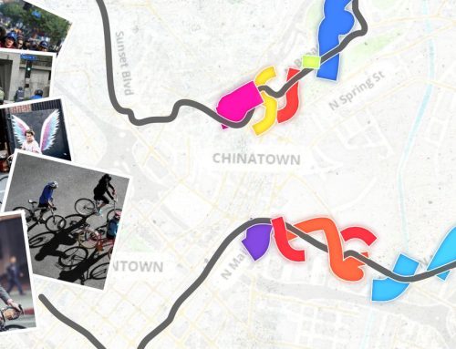
UCLA to Develop First County-Wide Bicycle Data Clearinghouse

The UCLA Complete Streets Initiative recently was selected by the Southern California Association of Governments (SCAG) to create a bicycle data clearinghouse in a partnered effort with Ryan Snyder Associates, the Los Angeles County Bicycle Coalition (LACBC), and Kittleson and Associates. As a part of this multi-phase $150,000 project, UCLA will collect and standardize data for municipalities in Los Angeles County, and will create a Web-based, user-friendly map interface available to policymakers and the public. Such a bicycle data set will be the first of its kind in the county.

The team of Lewis Center researchers includes Madeline Brozen and Norman Wong, Professor Rui Wang, and graduate students. Their effort builds upon the UCLA Lewis Center’s other Web-GIS interface projects including the California Land Opportunities Tracking System (CA-LOTS), a Web-GIS tool which allows planners and developers throughout the region to identify infill development opportunities in priority growth areas.


Recent Posts

Cyclists ride along a red-paved fietstraat (bike street) in a quiet Dutch residential neighborhood, where a blue sign indicates that cars are guests. The street runs parallel to a narrow canal lined with trees and tidy homes.

‘Active travel’ study identifies pathways for designing walking- and cycling-friendly cities

In largest study to date, research found city-level policies reduce global emissions by 6% and create about $435 billion in health benefits.

Supervisor Janice Hahn speaks at a UCLA Institute of Transportation Studies event, seated next to Jim Newton. The two are at a table on a stage with a blue UCLA Luskin tablecloth, addressing a seated audience. A projection behind them displays their photos, names and titles.

Leaders see a transit legacy in the LA28 Games

From bus lanes to better sidewalks, improvements could fuel transit ridership in Los Angeles beyond the Olympics and Paralympics.

Featured Content