
How deciding where to put the port shaped the entire city
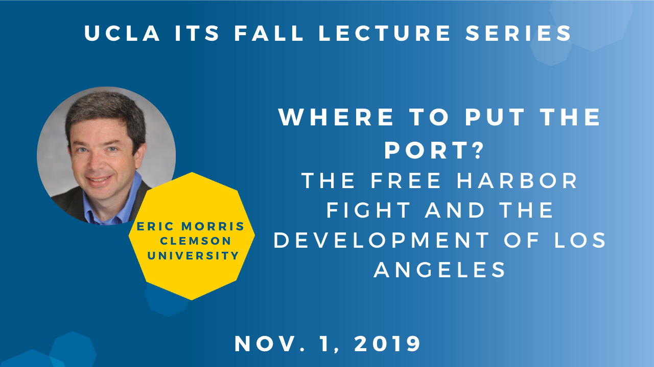
Where to situate the port became a decisive moment that impacted the development of Los Angeles, according to Eric Morris, who spoke on the subject Nov. 1.
Morris, an associate professor of city and regional planning at Clemson University, gave a lecture that focused on the “Free Harbor Fight,” which involved a legal battle in the late 19th century over where to situate the Los Angeles port. Morris’ talk is part of a six-part lecture series by UCLA ITS.
Morris began with an overview of the Port of LA, located in San Pedro, and described why the natural conditions of the land were not ideal for a port. Because of these challenges, many notable landowners in LA — including Collis P. Huntington, the owner of Southern Pacific Railway — tried to push for the city to convert Santa Monica into its main port. However, those in favor of keeping the port in San Pedro eventually won. As a result, Santa Monica reinvented itself as a wealthy resort and leisure spot, while San Pedro — and later Long Beach — became increasingly industrial.
According to Morris, this decisive moment impacted the entire future of LA’s development. LA’s wealthy westside neighborhoods (Beverly Hills, Holmby Hills, Brentwood) sprouted along the route from downtown Los Angeles to Santa Monica, while more working-class communities (South Los Angeles, Watts, Compton) were situated in the direction of the ports. Had Los Angeles chosen Santa Monica as its port, the city could have looked completely different.
Today, Los Angeles is the third-largest container port in the world and the largest along the West Coast — a feat accomplished without natural resources to support it.
Watch professor Morris’ talk:
Recent Posts

What if transportation abundance policy focused on access, not just mobility?
A transportation abundance agenda means rethinking investment and management so people can reach what they need, not just move faster or farther through inefficient systems.
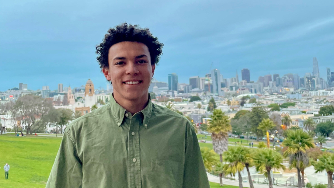
UCLA student wins fourth consecutive national transportation prize
Nick Giorgio MURP ‘25 received the Neville Parker Award for his capstone project on intersection design and safety in Los Angeles.
Featured Content


