
Project Description
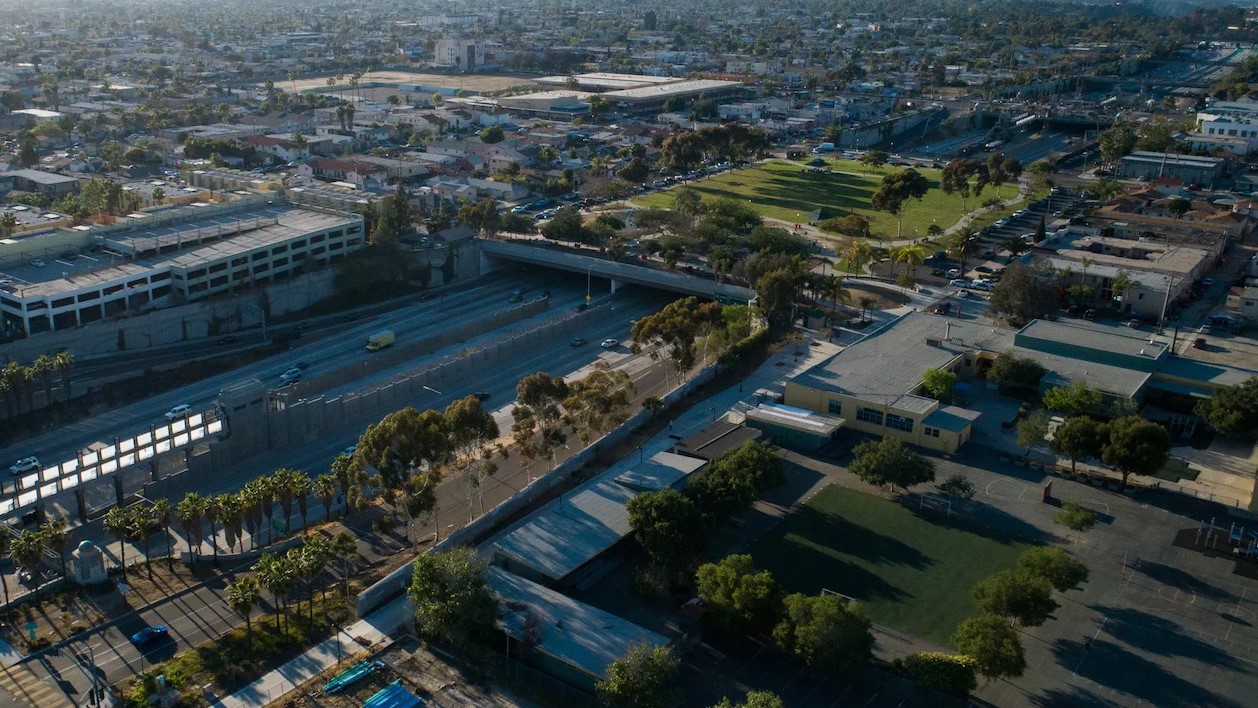
If state Route 15 is a concrete reminder of the top-down freeway building era of the mid-20th century, then Teralta Park is its smaller, green, living rebuttal.
Stretching above the freeway in San Diego’s City Heights neighborhood, California’s first freeway cap is a prime example from a new era of mitigations that began to emerge in the late 20th century. One block long, Teralta Park was part of a larger, ultimately incomplete community vision proposed in the 1990s to cover an eight-block stretch of the 15 freeway with robust amenities and transit services.
This storymap examines the history behind California’s first freeway cap — a testament, despite its reduced scope, to the community activists who pushed for reparations after decades of harm.
For more information on the study and links to the publications, visit the project page: its.ucla.edu/project/further-implications-freeway-siting-california.