
Project Description
A History of Pasadena and Its Freeways in the 20th Century
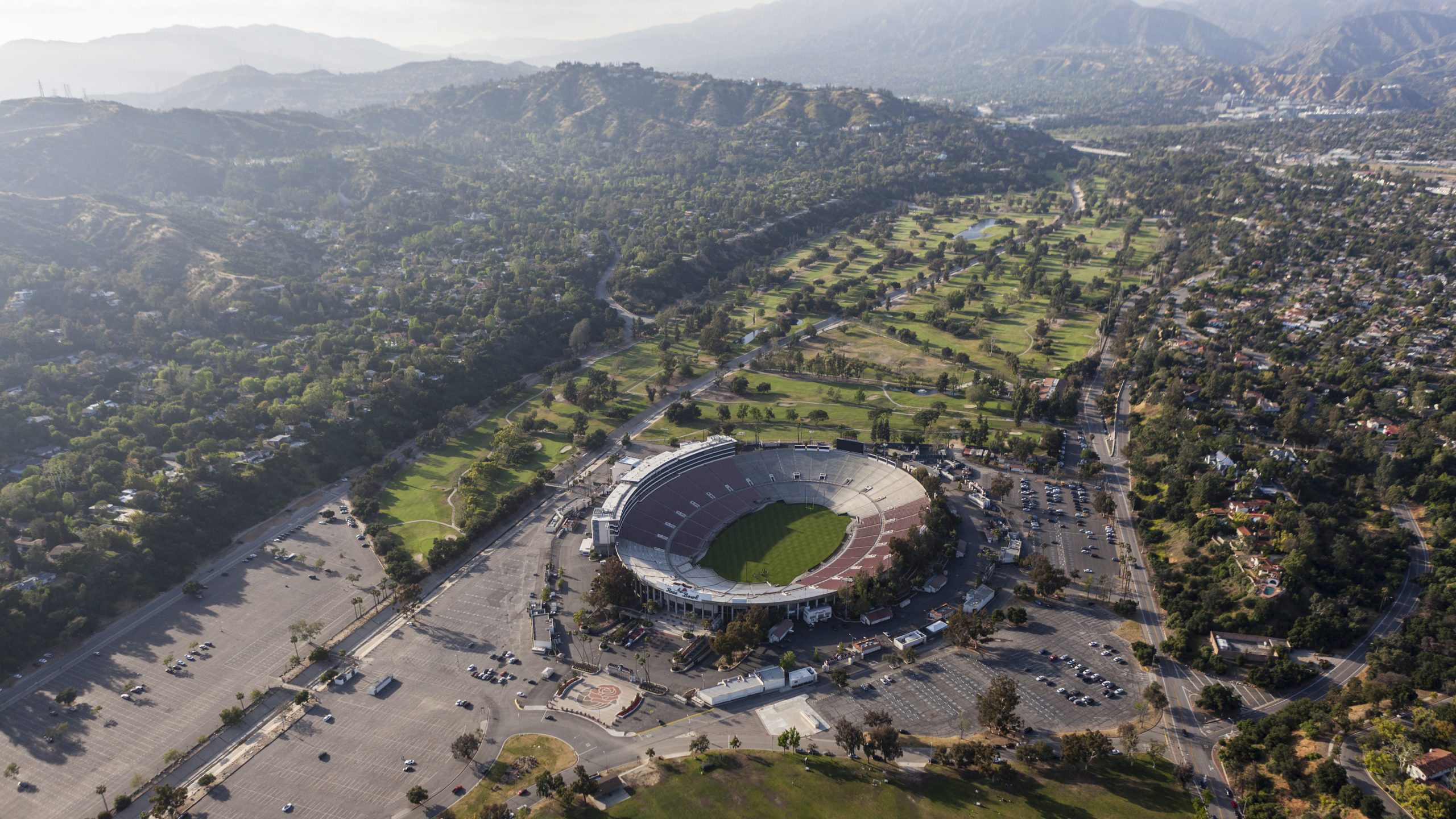
This storymap delves into the history of the Foothill Freeway/Interstate 210 that cut through the northwest neighborhoods of Pasadena, resulting in the displacement of nearly 3,000 predominantly Black residents. In the 1950s and ‘60s, planners and other local officials built upon decades of disinvestment, redlining, and urban renewal projects to push through the chosen route. An alternate route — running largely through uninhabited parkland along the eastern edge of the Arroyo Seco valley by the Rose Bowl stadium parking lot — was rejected.
Pasadena was one of four case studies studied by researchers on the effects of freeway siting on neighborhoods of color. The other California cities/areas are Pacoima, Sacramento and San José. For more information on the study and links to the publications, visit its.ucla.edu/project/the-implications-of-freeway-siting-in-california.